You can use the Find Population on Map tool to draw a radius or area and then find out the population inside that area.
To start, click either the radius or area icon.
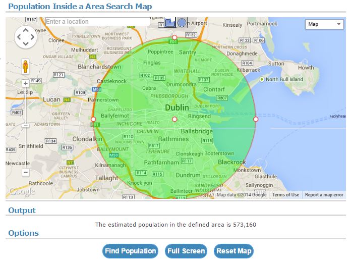
For a radius, click on the map to draw the radius. You can then reposition or re-centre the radius in order to get it to cover the required area.
Once you are satisfied with the position of the radius on the map, click the [Find Population] button just below the map. The population estimate is then displayed below the map. See the example below for the population estimate of Dublin, Ireland
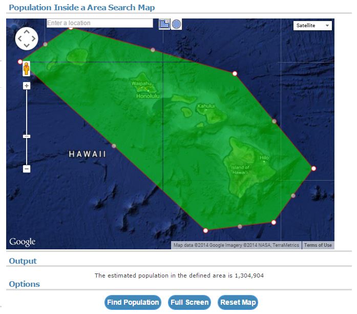
For a user defined area, click on the map multiple times to draw the area on the map. You can drag to reposition any vertex. You can also right click to delete a vertex. It is advised to draw the area in a clockwise direction clicking around the area in a clockwise fashion. Once you are satisfied with the position of the radius on the map, click the [Find Population] button just below the map. The population estimate is then displayed below the map. See the example below for the population estimate of Hawaii, USA.
Visit Find Population on Map to try it yourself!


